
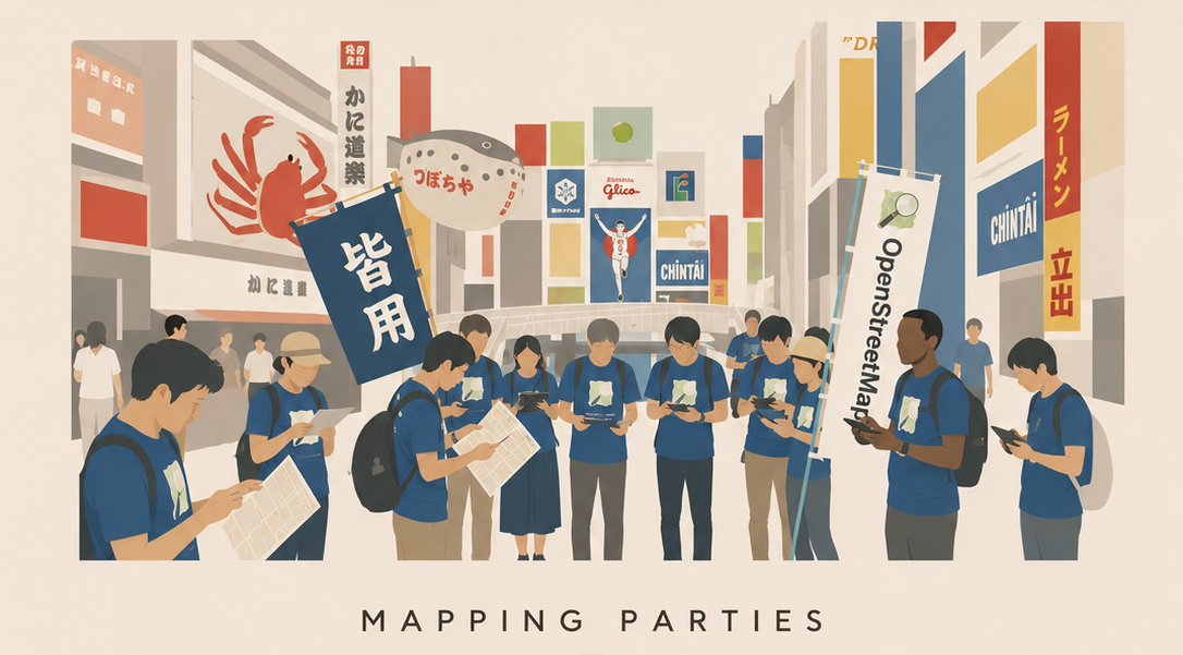
September 6, 2026
Walk, Discover, and Leave It on the Map!
OSAKA Mapping Party
Turn what you notice while walking through the city into map data for the future.
For this mapping party, participants will enjoy fieldwork and digital mapping across four distinctive areas in Osaka and Kyoto. Choose one course that matches your interests, whether accessibility, history and scenery, designed manhole covers, or water and whisky culture.
First-time mappers are very welcome. Participants will walk through real neighborhoods, record discoveries as photos and location information, and add them to maps such as OpenStreetMap.
Your discoveries can help someone move around, plan a trip, or encounter a new side of the city. Let us enjoy a day of walking, discovering, and preserving local knowledge together.
Important note: If severe weather, natural disasters, major public transportation suspensions, or similar conditions make it difficult to hold the event, we will generally notify participants of cancellation by noon on the previous day. Strong sunlight is also expected, so please take sufficient precautions against heatstroke, including bringing drinking water.
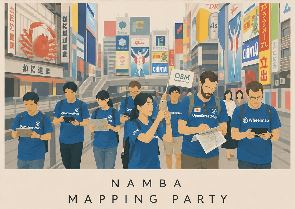
Course 1 | Osaka / Namba
Accessibility Mapping in the Layers Behind the Bustle
Walk around Namba and Dotonbori, one of Osaka's most iconic downtown districts. With a professional guide, participants will use Wheelmap and Mapillary to record streetscapes and accessibility information.
- Meet: 10:00, in front of Apple Shinsaibashi
- Capacity: up to 20 participants
- Route: Apple Shinsaibashi -> Dotonbori -> Sennichimae Doguyasuji Shopping Street -> Kuromon Market -> Nipponbashi Electric Town
- Fieldwork ends: 14:00
- Mapping work: 15:00-17:00, AManTo Cafe
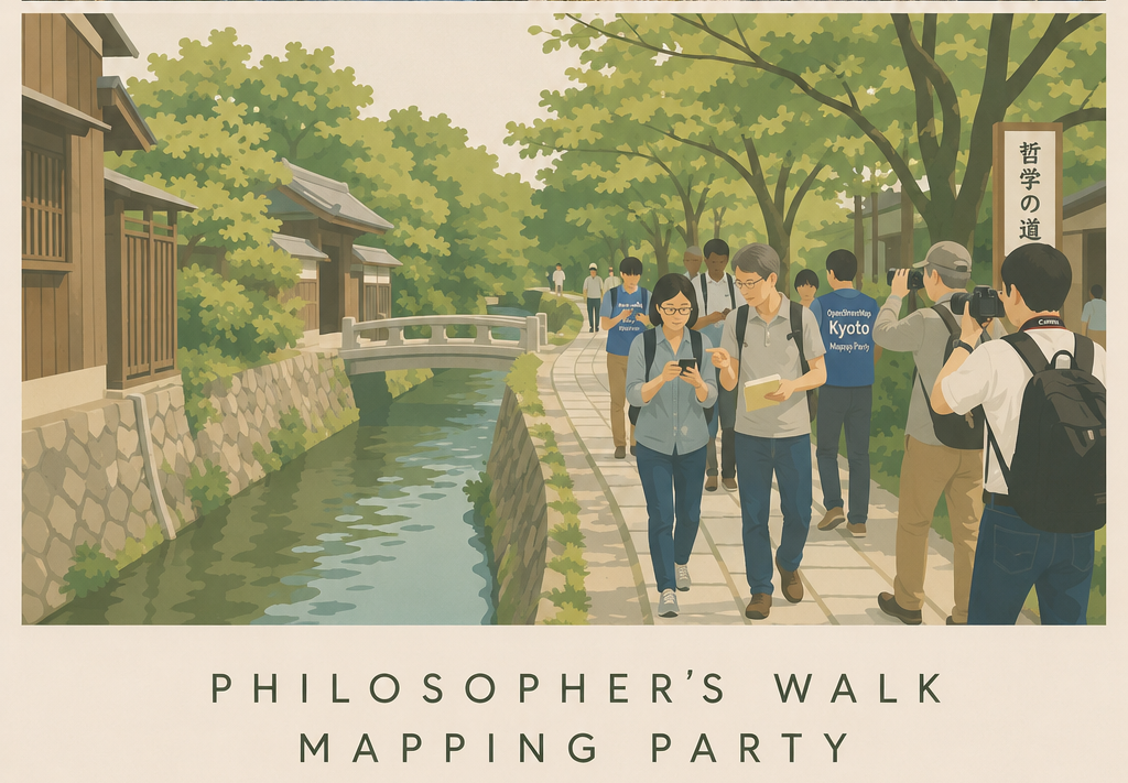
Course 2 | Kyoto / Philosopher's Walk
Tourism Mapping Through History and Scenery
This course combines sightseeing and mapping along Kyoto's beloved Philosopher's Walk. Participants will record facilities, walking conditions, signs, landmarks, and other details from Ginkakuji to Nanzenji and the Suirokaku Aqueduct.
- Meet: 8:30, Kyoto City Bus Ginkakuji-mae bus stop
- Capacity: up to 20 participants
- Route: Ginkakuji-mae -> Ginkakuji -> Philosopher's Walk -> Nanzenji / Suirokaku Aqueduct
- Fieldwork ends: 14:00
- Mapping work: 16:00-18:00, AManTo Cafe
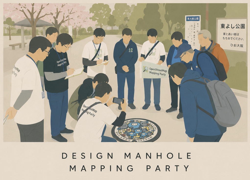
Course 3 | Higashi-Osaka / Designed Manholes
Find Poke Lids and Capture the City in 3D
Search for Pokemon manhole covers, known as Poke Lids, in Higashi-Osaka while adding information about nearby roads, parks, and facilities to OpenStreetMap. Participants can also try 3D scanning tools such as Scaniverse.
- Meet: 10:00, in front of Kintetsu Nukata Station
- Capacity: up to 20 participants
- Route: Nukata Station -> Higashi-Ishikiri Park (Poke Lid) -> Ishikiri Sando area -> Higashi Gymnasium (Poke Lid) -> Hanazono Central Park
- Fieldwork ends: 12:30
- Optional: 12:30-14:00, Hanazono Onsen
- Mapping work: 15:00-17:00, AManTo Cafe
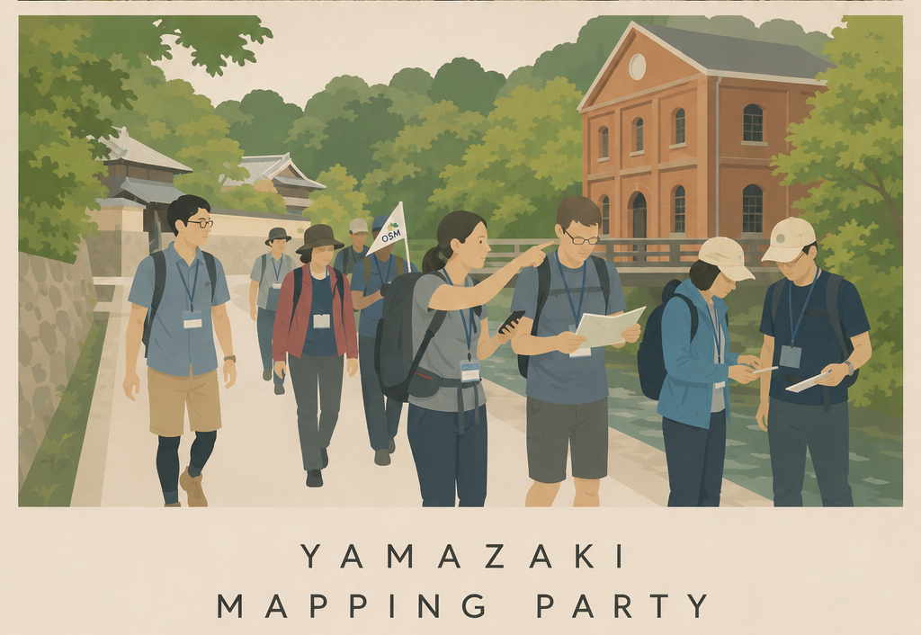
Course 4 | Yamazaki / Whisky Culture
Follow Water, History, and Japanese Whisky Culture
Yamazaki sits between Kyoto and Osaka, where the Katsura, Uji, and Kizu rivers meet. This course explores the links between water, nature, history, and industry, including visits to the Asahi Group Oyamazaki Villa Museum of Art and the Yamazaki Whisky Museum.
- Meet: 9:30, in front of JR Kyoto Line Yamazaki Station
- Capacity: up to 10 participants
- Route: Yamazaki Station -> Asahi Group Oyamazaki Villa Museum of Art (10:00-12:00) -> Yamazaki Whisky Museum (13:00-14:30) -> Yamazaki Station
- Please bring your own lunch, as there are no restaurants nearby.
- Fieldwork ends: 15:00
- Mapping work: 16:00-18:00, AManTo Cafe
Become a Mapmaker
Even familiar streets look completely different when you walk with a mapmaking perspective. All you need is curiosity about the city. Whether or not you have mapping experience, everyone is welcome. If you enjoy history, photography, maps, city walks, or trying new technology, we look forward to seeing you.
On Sunday, September 6, 2026, leave your new discoveries on the map in the city you choose.